
North Island Maps

National Roads Board New Zealand State Highway Maps
from NZ$425.00

World's Tourist Routes to New Zealand (1927)
from NZ$189.00

Whangarei County Map (1932)
from NZ$325.00

Aeronautical Chart Kaitaia (1975)
from NZ$325.00

Whangarei map (1925)
from NZ$395.00

Manurewa map (1945)
from NZ$425.00

‘Istmus of Auckland with its extinct Volcanoes’ Map (1859)
from NZ$425.00
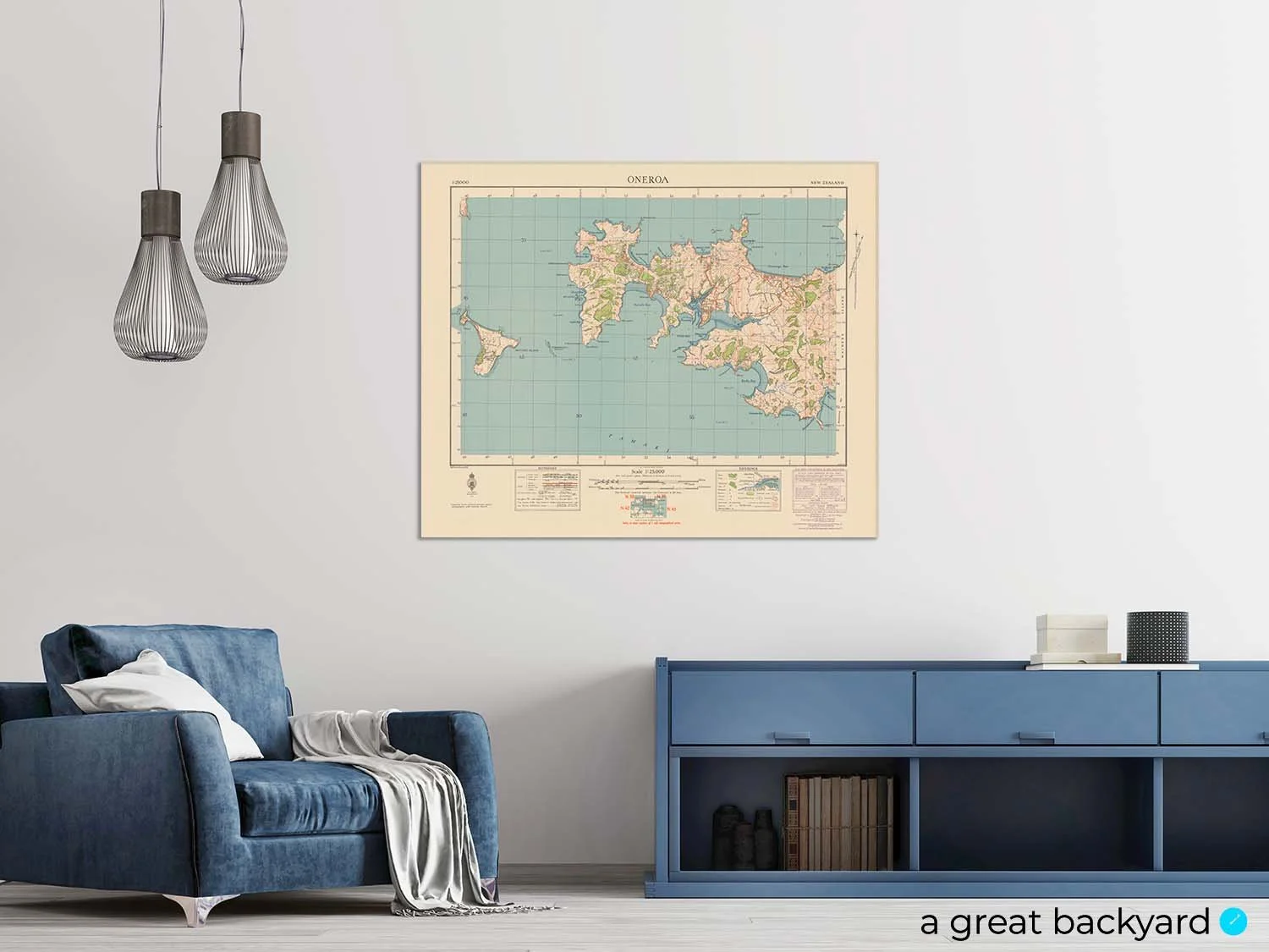
Oneroa Map (1944)
from NZ$425.00

Auckland Waitemata Harbour Map (1951)
from NZ$325.00

Approaches to Auckland Marine Map
from NZ$325.00

Central Auckland Maps (1924)
from NZ$425.00

Titirangi Map (1944)
from NZ$375.00

Survey Map of Auckland map (1912)
from NZ$239.00

Bream Head to Slipper Island Marine Map
from NZ$325.00
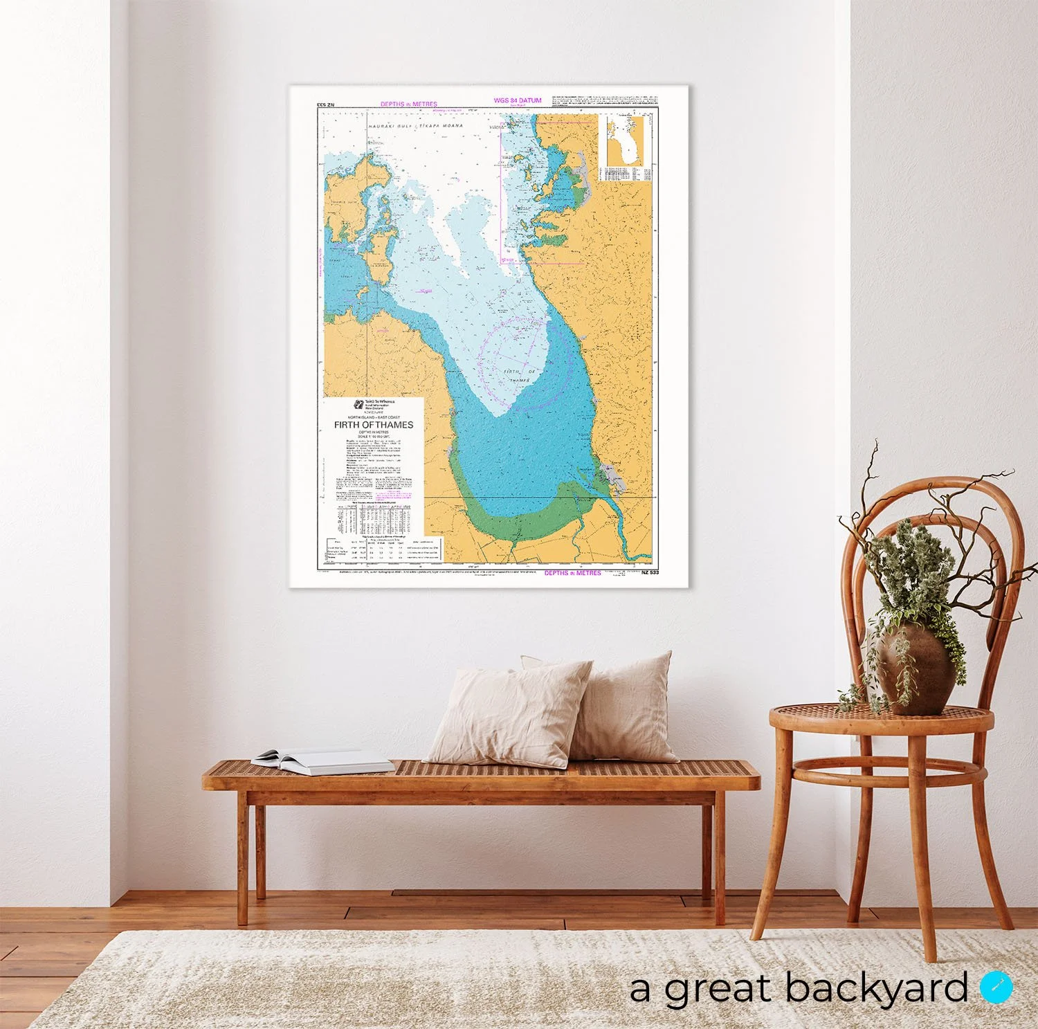
Firth of Thames Marine Map
from NZ$425.00
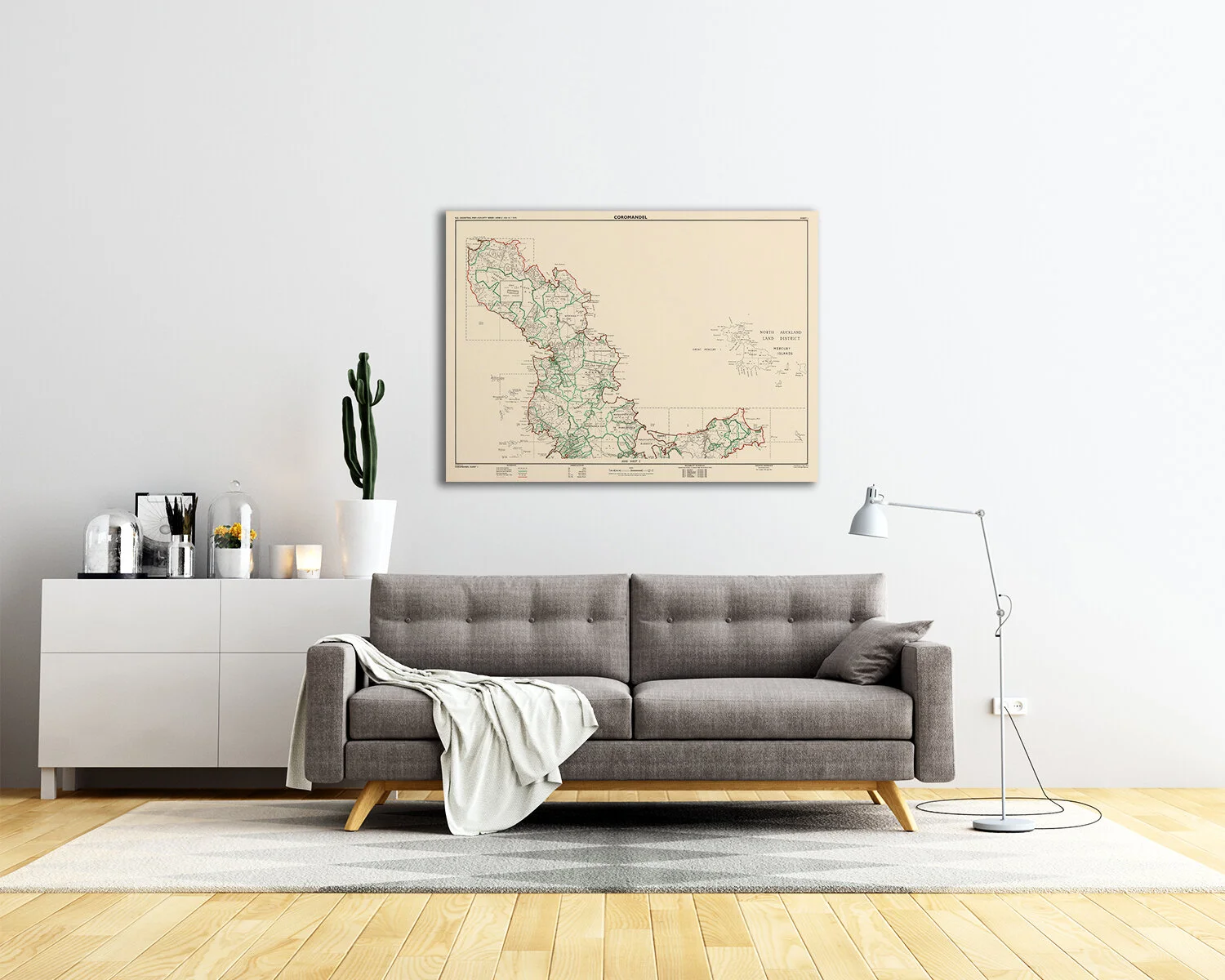
Coromandel Map (1959)
from NZ$299.00

Mount Maunganui and Environs Map (1952)
from NZ$239.00

Tauranga map (1928)
from NZ$395.00
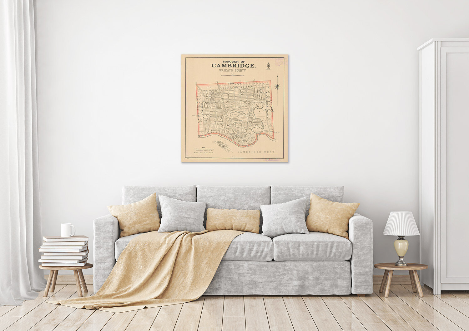
Borough of Cambridge map (1922)
from NZ$239.00

Map of Hamilton (1927)
from NZ$425.00
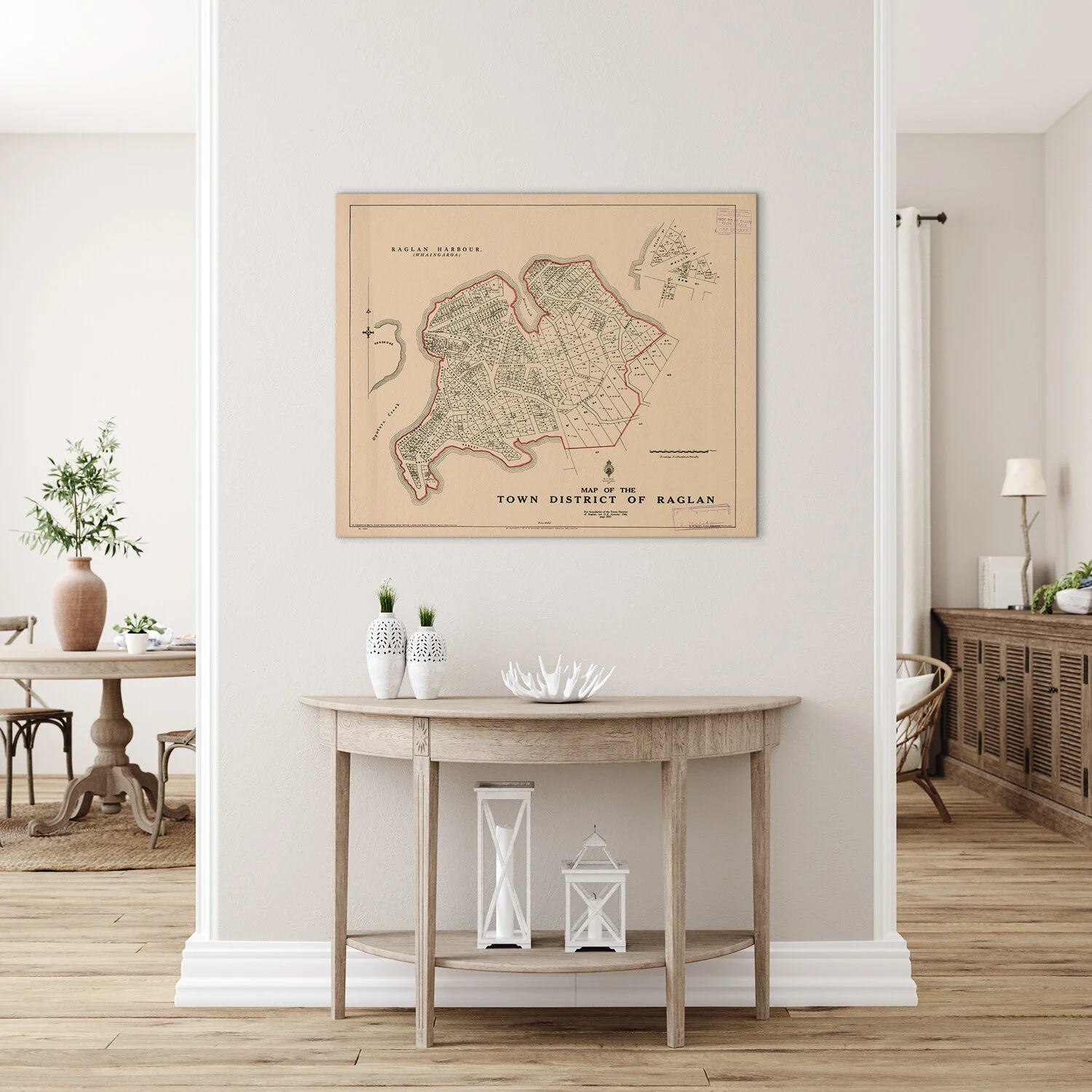
Raglan map (1923)
from NZ$425.00

Raglan County map (1936)
from NZ$325.00

Raglan Marine Map
from NZ$425.00

Kawhia Map (1974)
from NZ$299.00

Te Awamutu Map (1948)
from NZ$375.00
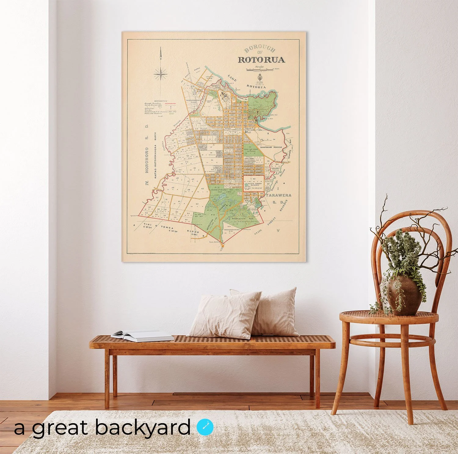
Rotorua Map (1927)
from NZ$425.00

Te Aroha Map (1923)
from NZ$219.00

Taupo Fisheries map (1929)
from NZ$375.00

Tongariro National Park map (1968)
from NZ$299.00

Gisborne Map (1934)
from NZ$425.00

Palmerston North Map (1931)
from NZ$425.00

Greytown Standard Survey (1914)
from NZ$239.00

Wellington map (1917)
from NZ$299.00


Cook Strait Marine Map
from NZ$325.00

New Zealand Geological Map (1873)
from NZ$325.00